

Travellers' favourite
things to do in shillong
Must-have travel
essentials in shillong
Explore Shillong

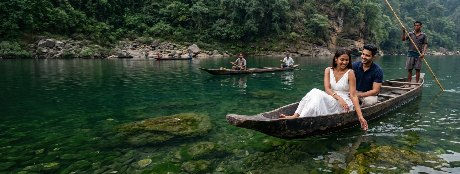
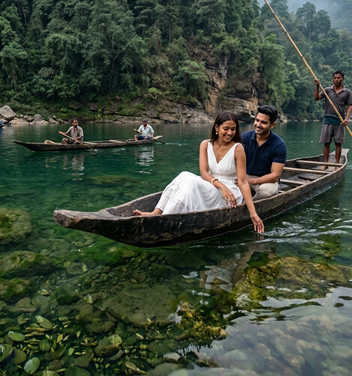
Shillong was the capital of Assam under British administration and became the capital of the newly created Meghalaya in 1972. The British gave it the name Scotland of the East-a comparison based on the pine forests, the mist, the rolling grassland, and the surprisingly consistent drizzle that characterises the Khasi Hills. The comparison is imprecise, but the spirit of it is right: Shillong does not look like anywhere else in India. The architecture is part colonial bungalow, part Khasi longhouse, part informal market-a layering of cultures that produces something genuinely distinct. The Meghalaya plateau sits above the Bangladesh plains, which means the clouds coming off the Bay of Bengal hit the escarpment and rise sharply. Cherrapunji (Sohra), 55 kilometres south of Shillong, holds the world record for annual rainfall-26,461 mm in 1861. Even in the relatively drier months of October to December, the waterfalls along the Cherrapunji-Mawsynram corridor are running at volumes that most visitors from peninsular India have never seen. Nohkalikai Falls, at 340 metres, is India's tallest plunge waterfall. The living root bridges of Meghalaya are the result of a Khasi biotechnology developed over centuries: rubber trees (Ficus elastica) are guided across streams by training their roots through hollow bamboo tubes until they bridge the gap, thicken, and interlock into a natural bridge that grows stronger with time and weight. The double-decker bridge at Nongriat, 3,400 steps below the road near Cherrapunji, requires a 3-hour descent and ascent-which Alike's guide makes navigable with a proper pacing and knowledge of what you are looking at. The bridge is approximately 200 years old at the lower level. Laitlum Canyon, 20 kilometres from Shillong, is a plateau edge canyon where the Meghalaya tableland drops sharply into the gorge below. At sunrise, with cloud layers filling the gorge and the plateau grassland lit orange behind you, it is one of the most dramatic viewpoints in the North East. The canyon rim is accessible by private vehicle in 45 minutes from Shillong-one of the few extraordinary natural sites in the region that does not require a multi-hour trek. Dawki, 95 kilometres from Shillong, is where the Umngot River runs so clear that the boats appear to float on air. The riverbed is visible through 10 metres of water. The Bangladesh border is 200 metres downstream. Alike's Dawki day trip includes a boat ride, a walk to the border viewpoint, and lunch in a Khasi community kitchen.